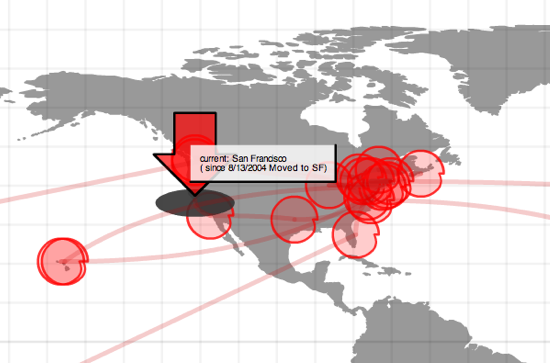
XML and Flash Map of My Travels

I found Bryan Boyer’s IndyJunior several years ago when it was still v1.3 and played with it back then. For some reason, it popped into my head again the other day so I went and downloaded the latest version (now 1.6) and have put up a map of my past travels. I’ve made it oversized – IndyGiant, if you will. The flash movie simply calls an XML file with name, location, longtitude and latitude coordinates to plot the points and routes on the map.
